

Here for our city.
And our neighbors.
Looking for a lawyer near San Antonio? Start a conversation with Nick about your situation and where you need support.
Connected by community.
Our office is at 4538 Walzem Rd. in San Antonio. These are communities we welcome inquiries from, not branch offices.
Hover for a quick look. Select a place for photos, a local map and its story. On phones, tap a name.
26 communities to explore
San Antonio & close neighbors
Northeast & the I-35 corridor
North, northwest & surrounding communities
Explore places in and around each community. Photographs outside a city’s limits are labelled “Nearby”; historical and aerial views are identified in their captions.
A closer look.


San Antonio
A city shaped by the river, missions and many generations of community life. Its Spanish colonial settlement dates to 1718; the Alamo and surviving mission sites remain landmarks of a much longer regional story.
Open the guide to view the map, or follow the map link.
Read the local history source →
Photo credits
- San Antonio skyline — Nan Palmero · CC BY 2.0
- Selena’s Bridge on the San Antonio River Walk — Corpol847 · CC BY-SA 4.0
- San Antonio skyline at night — Jonathan Cutrer from San Angelo, United States · CC BY 2.0
Images resized and cropped for display. Licences apply to the individual images.
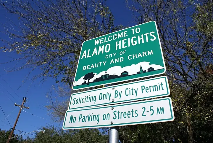
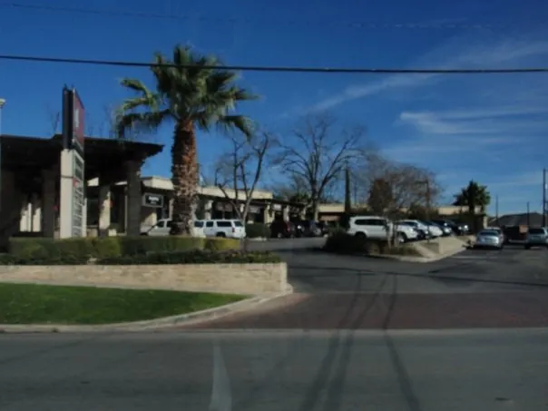

Alamo Heights
Tree-lined streets and the Broadway corridor give Alamo Heights its distinct identity. The city incorporated in 1922, with development rooted in the estates of George Washington Brackenridge and Charles Anderson during the nineteenth century.
Open the guide to view the map, or follow the map link.
Read the local history source →
Photo credits
- Alamo Heights welcome sign — AHresident · CC BY-SA 3.0
- Broadway in Alamo Heights — ahbroadway · CC BY-SA 3.0
- Harry B. Orem Stadium, Alamo Heights — Andrewinator · CC BY 4.0
Images resized and cropped for display. Licences apply to the individual images.

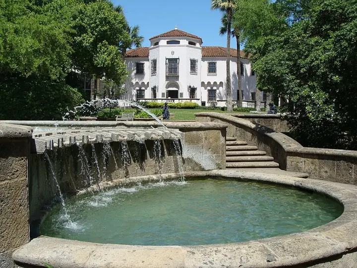
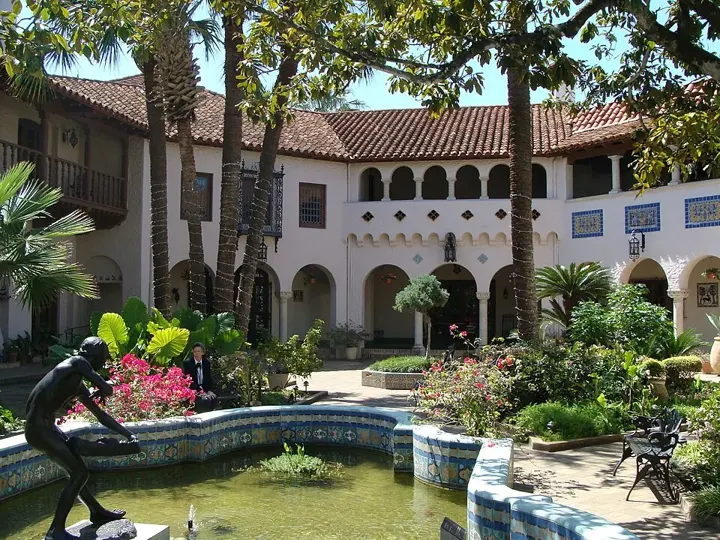
Terrell Hills
A residential city near the old Austin Highway, Terrell Hills takes its name from Frederick Terrell. Development gathered pace in the 1920s, and the community incorporated in 1939 before adopting a home-rule charter in 1957.
Open the guide to view the map, or follow the map link.
Read the local history source →
Photo credits
- Residential architecture in Terrell Hills — Tang Horseman · CC BY-SA 4.0
- McNay Art Museum, San Antonio — Zereshk · CC BY-SA 3.0
- Courtyard at McNay Art Museum, San Antonio — Zereshk · CC BY-SA 3.0
Images resized and cropped for display. Licences apply to the individual images.

Olmos Park
Olmos Park is known for mature trees and a residential character shaped in the 1920s. The area also has an earlier aviation chapter: Camp John Wise was established here as a military balloon-training school in 1917.
Open the guide to view the map, or follow the map link.
Read the local history source →
Photo credits
- Camp John Wise balloon beds, circa 1918 (archival photograph) — Unknown author Unknown author · Public domain
- McNay Art Museum, San Antonio — Zereshk · CC BY-SA 3.0
- Courtyard at McNay Art Museum, San Antonio — Zereshk · CC BY-SA 3.0
Images resized and cropped for display. Licences apply to the individual images.


Balcones Heights
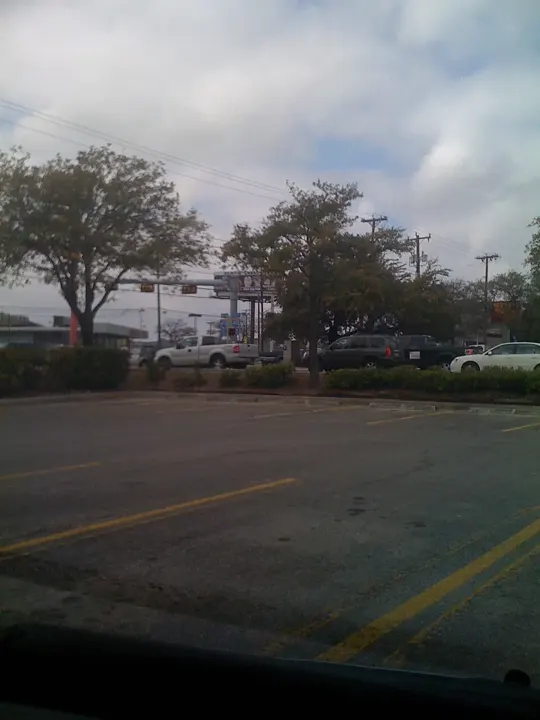
An independent city at San Antonio’s crossroads, Balcones Heights incorporated in 1948. Fredericksburg Road links its story to stagecoach travel, military routes and the later Old Spanish Trail automobile highway.
Open the guide to view the map, or follow the map link.
Read the local history source →
Photo credits
- Fredericksburg Road by the mall in Balcones Heights — organic_veggie · CC BY-SA 3.0
- Gwangju Pavilion at Denman Estate Park, San Antonio — Nightryder84 · CC BY-SA 3.0
- Lake at Denman Estate Park, San Antonio — pepelinarviejo · CC BY-SA 3.0
Images resized and cropped for display. Licences apply to the individual images.

Castle Hills
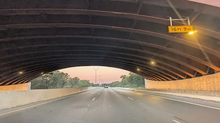
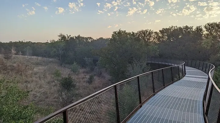
Castle Hills incorporated in 1951 and remains a separate municipality within metropolitan San Antonio. Its early city story includes peach orchards along what became Northwest Military Highway and a small community managing its own services.
Open the guide to view the map, or follow the map link.
Read the local history source →
Photo credits
- Robert L.B. Tobin Land Bridge, San Antonio — TeresaShumaker · CC0
- Skywalk at Phil Hardberger Park, San Antonio — TeresaShumaker · CC0
- Phil Hardberger Park, San Antonio — Irid Escent · CC BY-SA 2.0
Images resized and cropped for display. Licences apply to the individual images.

Leon Valley
Bandera Road runs through the heart of Leon Valley, which incorporated in 1952. The Huebner-Onion Homestead and stagecoach-stop story connect today’s city with the farming and travel routes of the nineteenth century.
Open the guide to view the map, or follow the map link.
Read the local history source →
Photo credits
- Huebner-Onion Homestead, Leon Valley — 25or6to4 · CC BY-SA 3.0
- Robert L.B. Tobin Land Bridge, San Antonio — TeresaShumaker · CC0
- Lake at Denman Estate Park, San Antonio — pepelinarviejo · CC BY-SA 3.0
Images resized and cropped for display. Licences apply to the individual images.



Windcrest
Windcrest grew from former farmland and incorporated in 1959. Its annual Christmas Light Up became a defining community tradition, while a commemorative marker and oak tree record the city’s early development.
Open the guide to view the map, or follow the map link.
Read the local history source →
Photo credits
- Morgan’s Wonderland, San Antonio — MorgansWonderlandTexas · CC BY-SA 4.0
- Carousel at Morgan’s Wonderland, San Antonio — Copyright 2010 R.C. French Photography · CC BY-SA 4.0
- The Whirling Wonder at Morgan’s Wonderland — MorgansWonderlandTexas · CC BY-SA 4.0
Images resized and cropped for display. Licences apply to the individual images.


Kirby
Kirby’s beginnings are tied to railroad construction and the stockpiling of timber for railway ties. Incorporated in 1955, it developed as a residential community east of Fort Sam Houston along the FM 78 corridor.
Open the guide to view the map, or follow the map link.
Read the local history source →
Photo credits
- Fort Sam Houston Quadrangle, San Antonio — Clyde Charles Brown · CC BY-SA 4.0
- Clock tower at Fort Sam Houston, San Antonio — Chitrapa at English Wikipedia · Public domain
- The Taj at Joint Base San Antonio–Randolph — Rich McFadden · Public domain
Images resized and cropped for display. Licences apply to the individual images.


Converse
Converse began as a railway settlement in 1877 and took its name from engineer Major James Converse. The city incorporated in 1961 as the rural communities northeast of San Antonio became increasingly suburban.
Open the guide to view the map, or follow the map link.
Read the local history source →
Photo credits
- Converse City Hall — Larry D. Moore · CC BY 4.0
- The Taj at Joint Base San Antonio–Randolph — Rich McFadden · Public domain
- Historic view of Randolph Field and training aircraft — U.S. Army Air Forces, Washington, D.C. · Public domain
Images resized and cropped for display. Licences apply to the individual images.

Live Oak
Live Oak incorporated in 1960 with roots in a German farming and ranching community. Its location around Interstate 35 and Loop 1604 helped shape the transition to residential neighbourhoods, shopping and regional services.
Open the guide to view the map, or follow the map link.
Read the local history source →
Photo credits
- Universal City municipal building — Wkstormwater · CC BY-SA 4.0
- The Taj at Joint Base San Antonio–Randolph — Rich McFadden · Public domain
- Morgan’s Wonderland, San Antonio — MorgansWonderlandTexas · CC BY-SA 4.0
Images resized and cropped for display. Licences apply to the individual images.

Universal City
Universal City’s story is closely linked to neighbouring Randolph Field. Named in 1931, the community developed across from the airfield; Pat Booker Road became the main connection between the city and the base.
Open the guide to view the map, or follow the map link.
Read the local history source →
Photo credits
- Universal City municipal building — Wkstormwater · CC BY-SA 4.0
- The Taj at Joint Base San Antonio–Randolph — Rich McFadden · Public domain
- A street-side business in Universal City — coolanimeboy25 · CC BY 4.0
Images resized and cropped for display. Licences apply to the individual images.


Selma
Selma stands along the historic Old Austin Road, now the Interstate 35 corridor. Its stagecoach heritage includes the Harrison and McCulloch stop, established in 1849 to move passengers and freight across central and south Texas.
Open the guide to view the map, or follow the map link.
Read the local history source →
Photo credits
- John S. Harrison House, Selma — Renelibrary · CC BY-SA 4.0
- Selma City Hall — Larry D. Moore · CC BY 4.0
- Interstate 35 corridor at Selma — Jonmallard · CC BY-SA 4.0
Images resized and cropped for display. Licences apply to the individual images.


Schertz
The Schertz family’s arrival from Alsace-Lorraine in the 1840s is part of the city’s origin story. Cibolo Creek, farming, the railway and later suburban growth all helped shape this northeast San Antonio community.
Open the guide to view the map, or follow the map link.
Read the local history source →
Photo credits
- Historic buildings on Main Street, Schertz — Jonmallard · CC BY-SA 4.0
- Schertz City Hall — Larry D. Moore · CC BY 4.0
- Schertz water tower — Jonmallard · CC BY-SA 4.0
Images resized and cropped for display. Licences apply to the individual images.


Cibolo
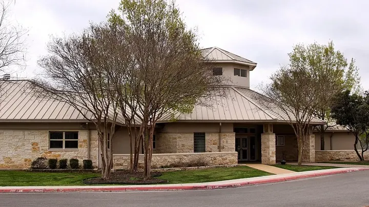
Cibolo grew after the railway arrived in 1875, followed by a general store and post office in 1876. The city incorporated in 1965; its name comes from a word for buffalo recorded on the Texas historical marker.
Open the guide to view the map, or follow the map link.
Read the local history source →
Photo credits
- Cibolo city-limits sign — Jonmallard · CC BY-SA 4.0
- Cibolo City Hall — Larry D. Moore · CC BY 4.0
- Entrance to Niemietz Park, Cibolo — Larry D. Moore · CC BY 4.0
Images resized and cropped for display. Licences apply to the individual images.


Garden Ridge
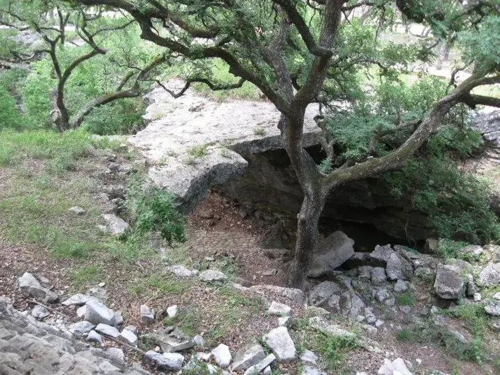
Garden Ridge incorporated in 1972 and retains a rural-style setting in Comal County. Paul Davis Park and its flagpole brick garden are local gathering places, while the surrounding landscape marks the approach to the Hill Country.
Open the guide to view the map, or follow the map link.
Read the local history source →
Photo credits
- Natural Bridge Caverns near Garden Ridge — Larry D. Moore · CC BY 4.0
- Entrance landscape at Natural Bridge Caverns — James Sumner · CC BY 3.0
- Cavern formations at Natural Bridge Caverns — Larry D. Moore · CC BY 4.0
Images resized and cropped for display. Licences apply to the individual images.

New Braunfels
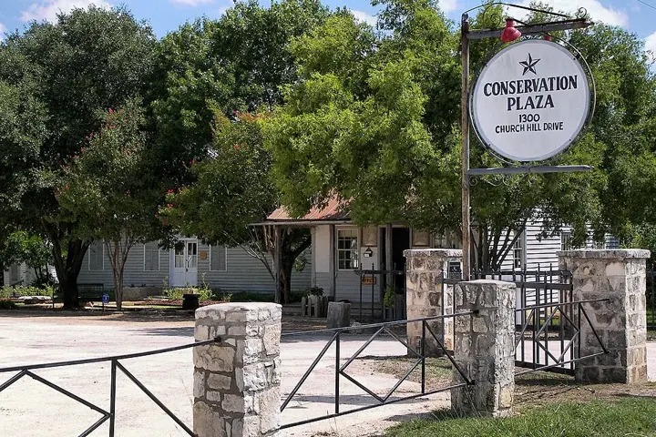
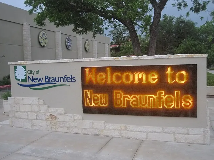
Founded in 1845 by settlers led by Prince Carl of Solms, New Braunfels carries a strong German-Texan heritage. Its river setting and historic town centre distinguish this community northeast of San Antonio.
Open the guide to view the map, or follow the map link.
Read the local history source →
Photo credits
- Conservation Plaza, New Braunfels — Larry D. Moore · CC BY 4.0
- Municipal water tower, New Braunfels — Larry D. Moore · CC BY 4.0
- Welcome to New Braunfels — Billy Hathorn · CC BY-SA 3.0
Images resized and cropped for display. Licences apply to the individual images.


Hollywood Park
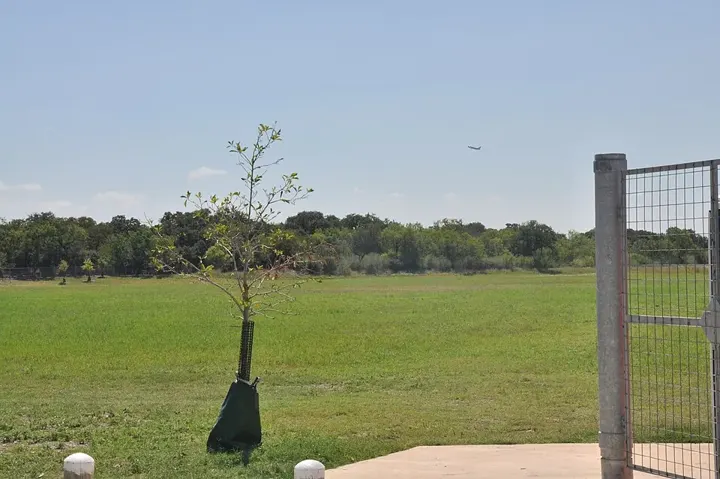
Hollywood Park developed in the early 1950s and incorporated in 1955. Its town history records the first home on Sequoia Drive and early city offices operating from residents’ homes before a permanent municipal complex took shape.
Open the guide to view the map, or follow the map link.
Read the local history source →
Photo credits
- McAllister Park, north San Antonio — TParis · CC BY-SA 3.0
- Open playing fields at McAllister Park — TParis · CC BY-SA 3.0
- Trailhead at McAllister Park — Stillwaterising · CC BY-SA 3.0
Images resized and cropped for display. Licences apply to the individual images.
Hill Country Village
Village Estates began developing here after the Second World War. Incorporated in 1956, Hill Country Village preserved a spacious residential character while the surrounding San Antonio metropolitan area expanded.
Open the guide to view the map, or follow the map link.
Read the local history source →
Photo credits
- Trailhead at McAllister Park — Stillwaterising · CC BY-SA 3.0
- McAllister Park, north San Antonio — TParis · CC BY-SA 3.0
- Open playing fields at McAllister Park — TParis · CC BY-SA 3.0
Images resized and cropped for display. Licences apply to the individual images.
Shavano Park
Shavano Park’s history runs through a nineteenth-century post office, railway stop and the Stowers Ranch. The city incorporated in 1956, preserving a separate municipal identity at the edge of the Texas Hill Country.
Open the guide to view the map, or follow the map link.
Read the local history source →
Photo credits
- Skywalk at Phil Hardberger Park, San Antonio — TeresaShumaker · CC0
- Phil Hardberger Park, San Antonio — Irid Escent · CC BY-SA 2.0
- Robert L.B. Tobin Land Bridge, San Antonio — TeresaShumaker · CC0
Images resized and cropped for display. Licences apply to the individual images.



Helotes
Helotes grew from farming and stagecoach travel northwest of San Antonio. Incorporated in 1981, it is closely associated with Old Town and John T. Floore Country Store, the dance hall opened in 1946.
Open the guide to view the map, or follow the map link.
Read the local history source →
Photo credits
- John T. Floore Country Store, Helotes — Larry D. Moore · CC BY 4.0
- Sandra Day O’Connor High School, Helotes — Wikimedia Commons contributor · CC BY-SA 3.0
- Larry Martin Library at O’Connor High School, Helotes — Ironmatic1 · CC BY-SA 4.0
Images resized and cropped for display. Licences apply to the individual images.


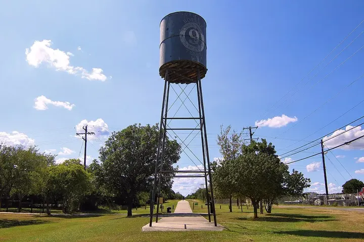
Fair Oaks Ranch
Fair Oaks Ranch evolved from a working ranch assembled by Ralph Fair Sr. in the 1930s. Residential development began in the 1970s, and the city incorporated in 1988 across parts of Bexar, Kendall and Comal counties.
Open the guide to view the map, or follow the map link.
Read the local history source →
Photo credits
- Fair Oaks Ranch highlighted on a Bexar County locator map — 25or6to4 · CC BY-SA 3.0
- Main Street, Boerne (archival photograph) — Unknown author Unknown author · Public domain
- Old No. 9 Trail, Boerne — Larry D. Moore · CC BY 4.0
Images resized and cropped for display. Licences apply to the individual images.

Boerne
Boerne was platted in 1852 and named for German writer Karl Ludwig Börne. Cibolo Creek and the historic town centre remain central to its identity as a gateway to the Texas Hill Country.
Open the guide to view the map, or follow the map link.
Read the local history source →
Photo credits
- Main Street, Boerne (archival photograph) — Unknown author Unknown author · Public domain
- Richter Building, Boerne — Larry D. Moore · CC BY 4.0
- Old No. 9 Trail, Boerne — Larry D. Moore · CC BY 4.0
Images resized and cropped for display. Licences apply to the individual images.
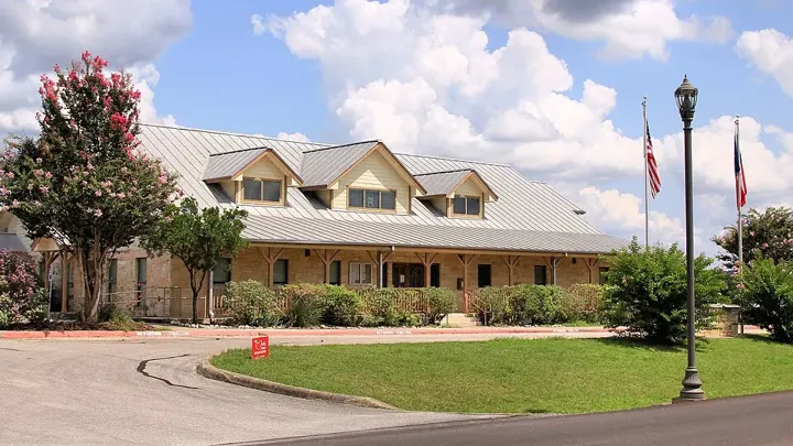

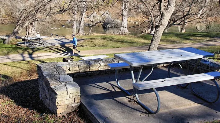
Bulverde
Early German settlement, ranching and roads along Cibolo Creek shaped Bulverde. The modern city came together through a series of incorporations and consolidations during the 1990s and 2000, linking several smaller communities.
Open the guide to view the map, or follow the map link.
Read the local history source →
Photo credits
- Bulverde City Hall — Larry D. Moore · CC BY 4.0
- Guadalupe River State Park near Bulverde — Larry D. Moore · CC BY 4.0
- Day-use area at Guadalupe River State Park — Larry D. Moore · CC BY 4.0
Images resized and cropped for display. Licences apply to the individual images.


Seguin
Founded in 1838 and named for Juan Seguín, Seguin is one of Texas’s early cities. Its historic centre and longstanding industrial and manufacturing character give it an identity distinct from its larger neighbour to the west.
Open the guide to view the map, or follow the map link.
Read the local history source →
Photo credits
- Waterfall at Max Starcke Park, Seguin — Answir · CC BY-SA 4.0
- Juan Seguín commemorative marker by City Hall — Darrylpearson · Public domain
- Historic Dietz-Castilla Doll House, Seguin — Billy Hathorn · CC BY-SA 3.0
Images resized and cropped for display. Licences apply to the individual images.
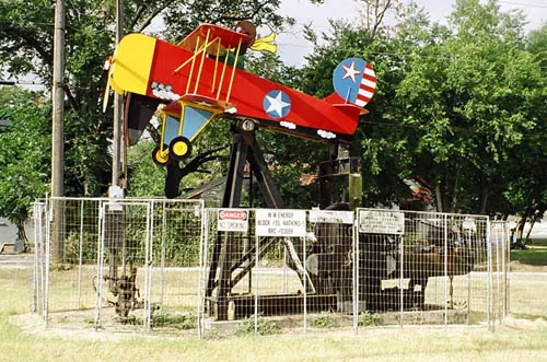


Luling
Luling was established in 1874 as the railway moved west. Zedler Mill, the San Marcos River, oil-field history and the Watermelon Thump reflect the mix of transport, agriculture and industry that shaped the town.
Open the guide to view the map, or follow the map link.
Read the local history source →
Photo credits
- A Luling pump jack — Larry D. Moore · CC BY 4.0
- Luling water tower (archival view) — Jbpacker2 · CC BY-SA 3.0
- Oil museum, Luling — Billy Hathorn · CC BY-SA 3.0
Images resized and cropped for display. Licences apply to the individual images.
How can we help?
Personal injury
Car, truck and motorcycle accidents, slips and falls. Talk through what happened and what support you need.
02Family law
Support with divorce, child custody, child support and property division, with room to talk about what matters to your family.
03Anti-barratry
If someone has pressured you to hire a lawyer or approached you after an accident, ask Nick about your experience.
Let’s take the
first step together.
You don’t need all the answers to start a conversation.
Request a free consultationOr call (832) 290-8014